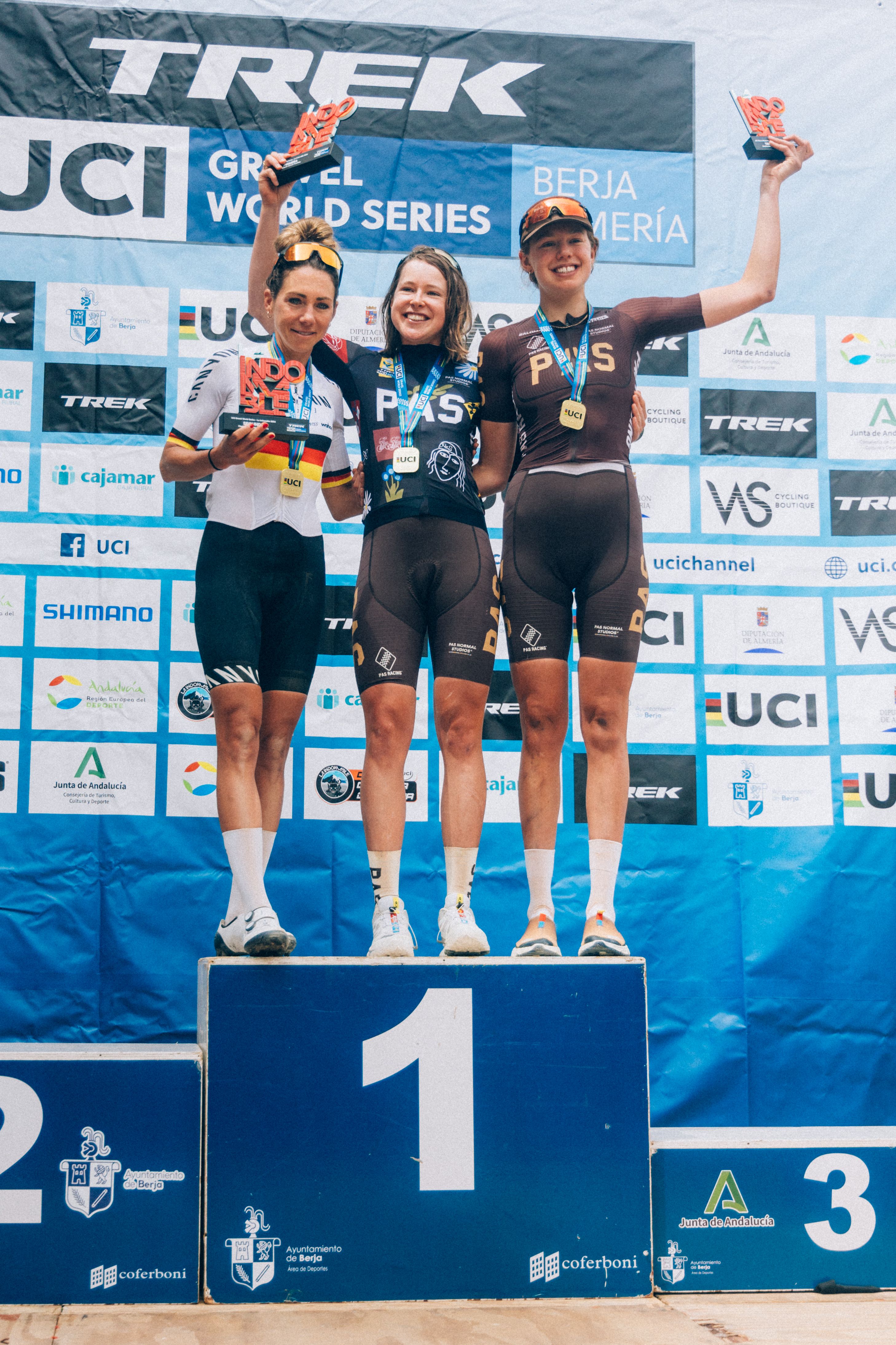
Story
The Tour of the GilaExplore our elevated gravel bundles - for a limited time only.
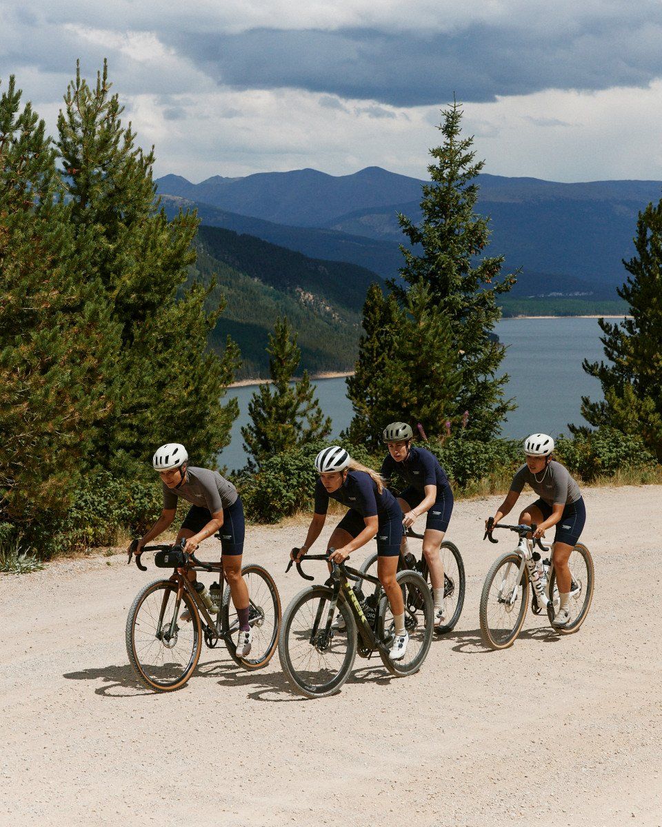
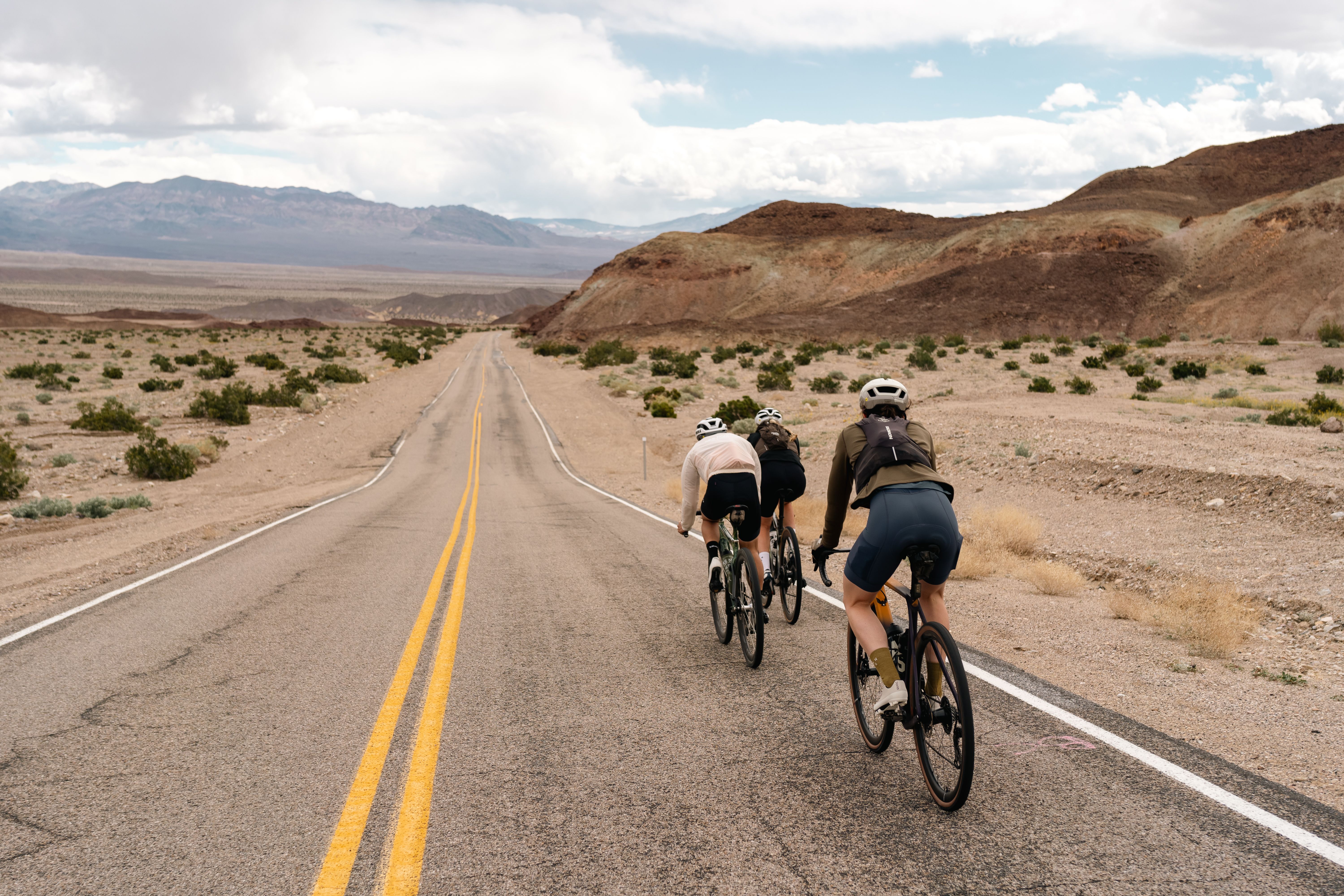
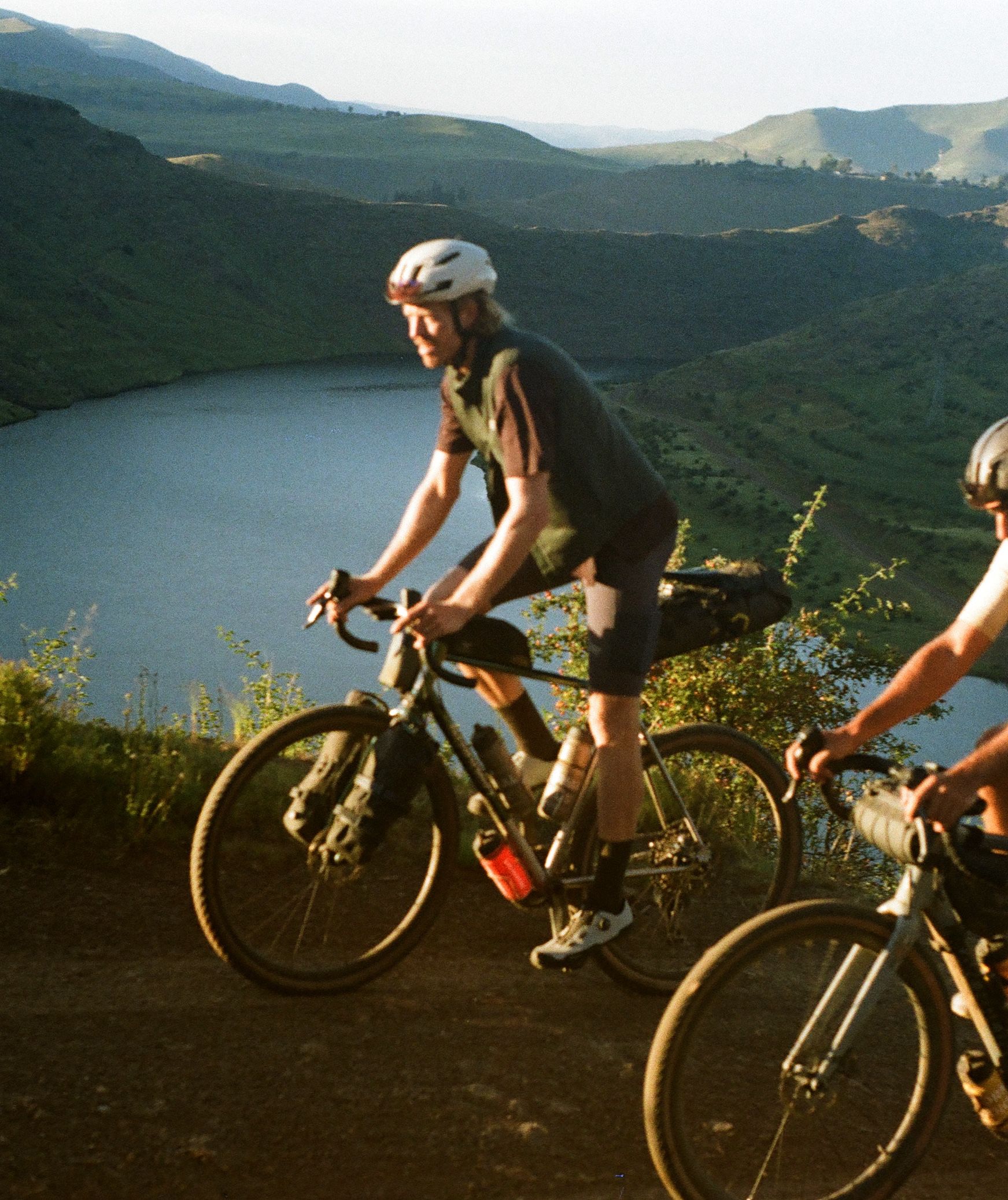
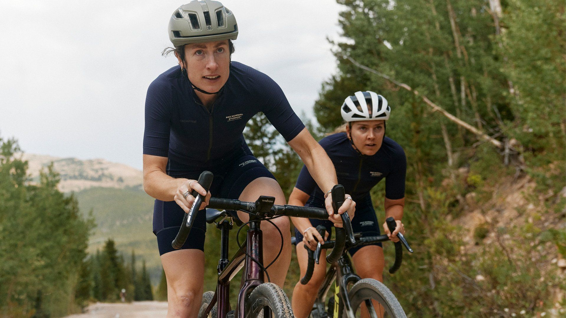
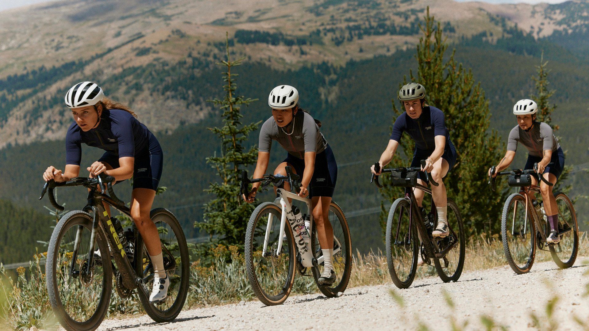
Day 1. We woke up at 3096 m / 10,158 ft in Leadville and rolled out of town through thin air and dense evergreen forests. The road hemming the north edge of Turquoise Lake—the deep blue of the glacial water punctuated by passing Lodgepole trunks—brought us to the end of the pavement and the dirt road that would lead to Hagerman Pass.
Hagerman is a 16 km / 10 mile climb on mostly rough, technical terrain that traverses the Continental Divide, topping out well above timberline at 3624 m / 11,900 ft. Powering up the steep, bumpy inclines with very little oxygen was made immeasurably less harrowing by the views stretching over the Rocky Mountains at every switchback, and as we crested the top of the climb we were rewarded with a 360° view of the infinite Colorado wilderness.
There is a moment at which I reach the top of something big and far from everything by the power of my own body, that I don’t feel I have the capacity to absorb all the beauty. Awe is mingled with fear is mingled with a welling up of emotion and the heart threatens to explode (and not due to the lack of oxygen). This, as much as the feeling of accomplishment, is a sublime reward.
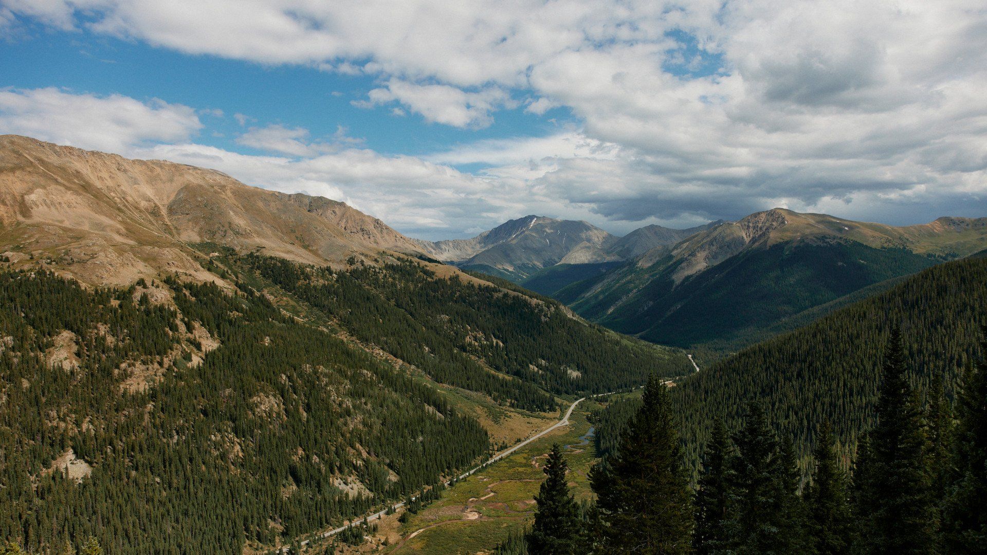
Summer-resistant snowfields, jagged summits and rivulets of snowmelt passed in our periphery as we launched down the bumpy descent, soon replaced by dense aspen groves, glowing green meadows and a smooth gravel road. We turned back onto the tarmac and continued to descend, marvelling at the sheer cliffs and shimmering lakes delineating the road. Grey earth turned to red and white light turned to gold as we neared Basalt and the close of our first day.
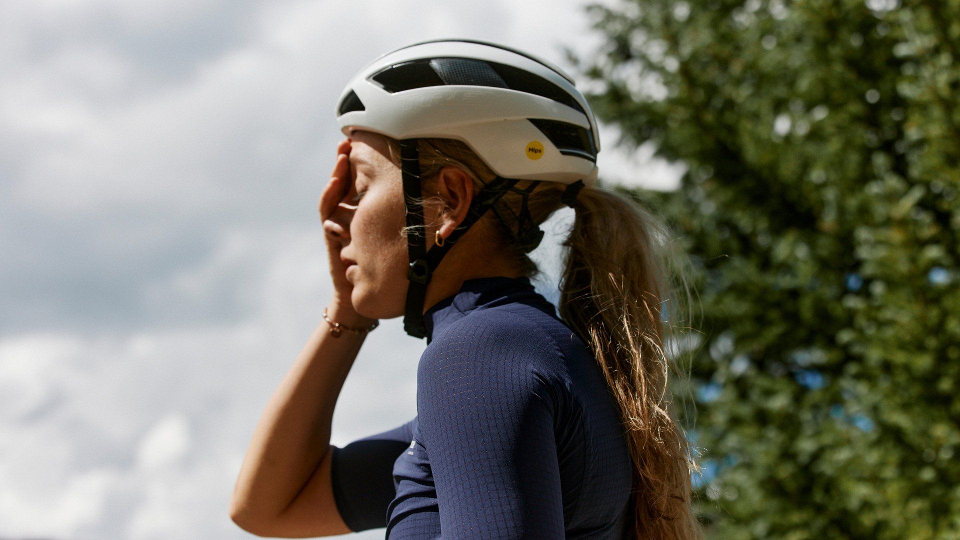
After attempting to take on my first ever Leadville 100 race the Saturday before we launched our Ladies ride to Steamboat - Monday was the day on the calendar I was most looking forward to.
This was the shortest ride on our lineup for the week. A short ride called for a chill morning - And if anyone knows me, they know how much I loveee a relaxed morning. Especially after a massive effort at 10,000 - 12,000 ft in Leadville the previous Saturday. My body was still recovering. Everyone was able to sleep in a bit and I whipped up a massive stack of banana, blueberry and chia pancakes for everyone while Maude rounded out the coffee.
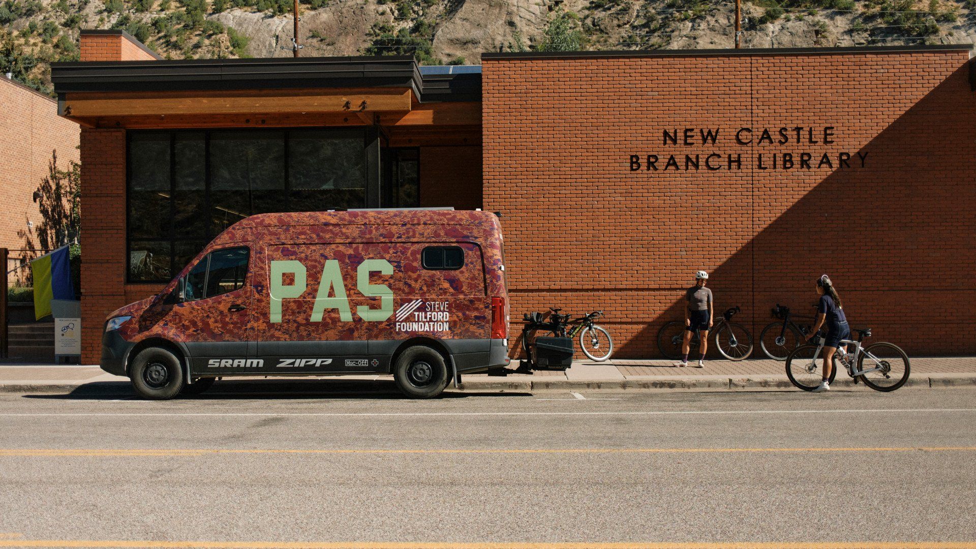
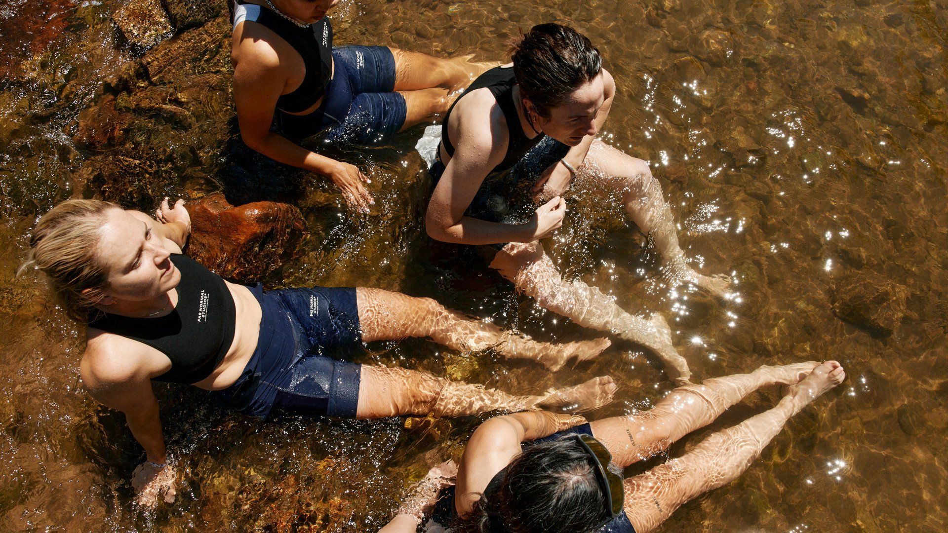
It certainly is not every day that you get the treat to roll mostly downhill on one of the most beautiful bike paths I’ve ever been on. A bike path that boasts mountain and river views the entire way. We ended the ride in Glendwood Springs for an afternoon river soak. Straight from the bike to the snowmelt river stream like a bale of turtles soaking up the sun and enjoying a cold plunge to recover the legs for the days ahead.
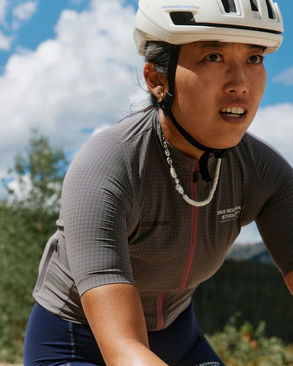
We checked into our hotel and bounced around Glenwood in search of the best lunch spot, and browsed around the downtown shops. We headed back to the hotel for some more relaxation before getting ready for our Nepalese dinner. As we winded down for the day in preparation for the big day we had on tap for Tuesday, we fired up the latest episode of the Bachelorette while we stretched and painted our fingernails to match the new Escapism Light colorways… in true slumber party fashion.
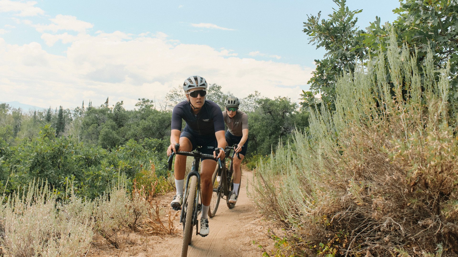
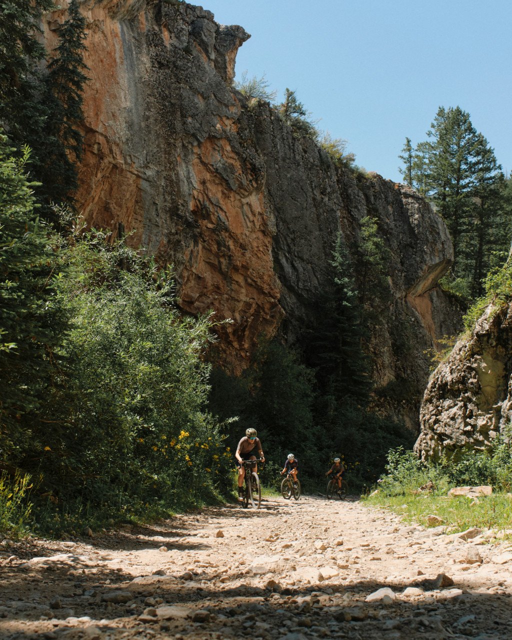
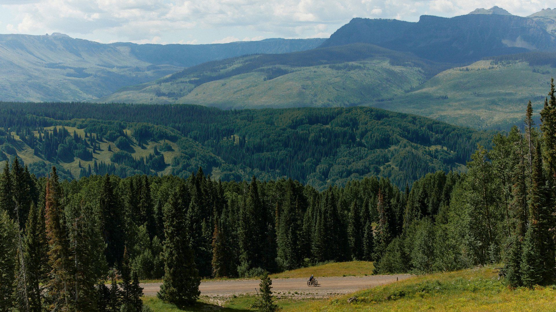
There is a difference between expecting to spend the day outside and not knowing if the day you are spending outside will eventually end. Our route on Day 3 first traversed a smooth, gentle 15-mile paved climb. After about an hour of relatively blissful, uncomplicated riding we met the beloved “pavement ends” sign and rounded a sharp blind corner onto a curvy gravel road that wound its way through a narrow canyon. We rode uphill against the flow of a small but strong creek that carved tunnels through hundred-foot-high jagged stone walls.
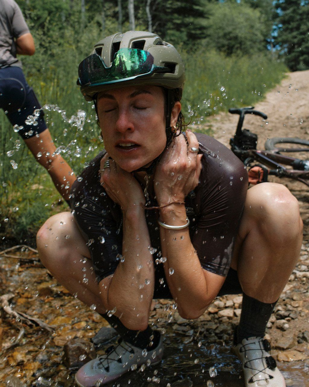
Another hour on, the terrain shifted again, this time from champagne gravel into a wide and rugged double track. Short, steep pitches came in waves and we climbed higher, along with the sun and temperature. We took a moment of reprieve in a cold flowing creek after about an hour of unrelenting terrain punches. As we approached what the map indicated was the “top” we veered once again onto an even more rugged trail - rutted, dusty, double-wide cow path that rolled up and down and around through meadows of livestock, wildflowers, and tall grass. Almost in synchrony, we found ourselves depleted of our emotional steam, all potable water, any appealing snacks, and Raylyn cracked her front wheel.
These moments of unexpected chaos snap me back to just how far bikes can take us, just how far out from civilization you can go on two legs… and just how nerve-racking it can be when something goes wrong. The next hour found us limping along (literally, figuratively), a bit unsettled, parched, and pining even more intensely for a breezy smooth descent straight into a river bath. If not for the generous log truck driver who slowed and gifted us water, our day may not have turned around the way it did.
We crested the final roller of the day and set our bikes and bodies down in the shade to wait for optimism to flood back. We saw the dust plume of the van before we even heard it - like a great cavalry come to save our depleted, dry souls. Day 3 was most definitely not a perfect day, but precisely the kind of day I dream about. One whose memory sticks around for life. Gratitude not just for the privilege to be on an adventure, but also for the whole catastrophe that brought me a true sense of presence, perspective, and a reminder of the responsibility it takes to roam far.
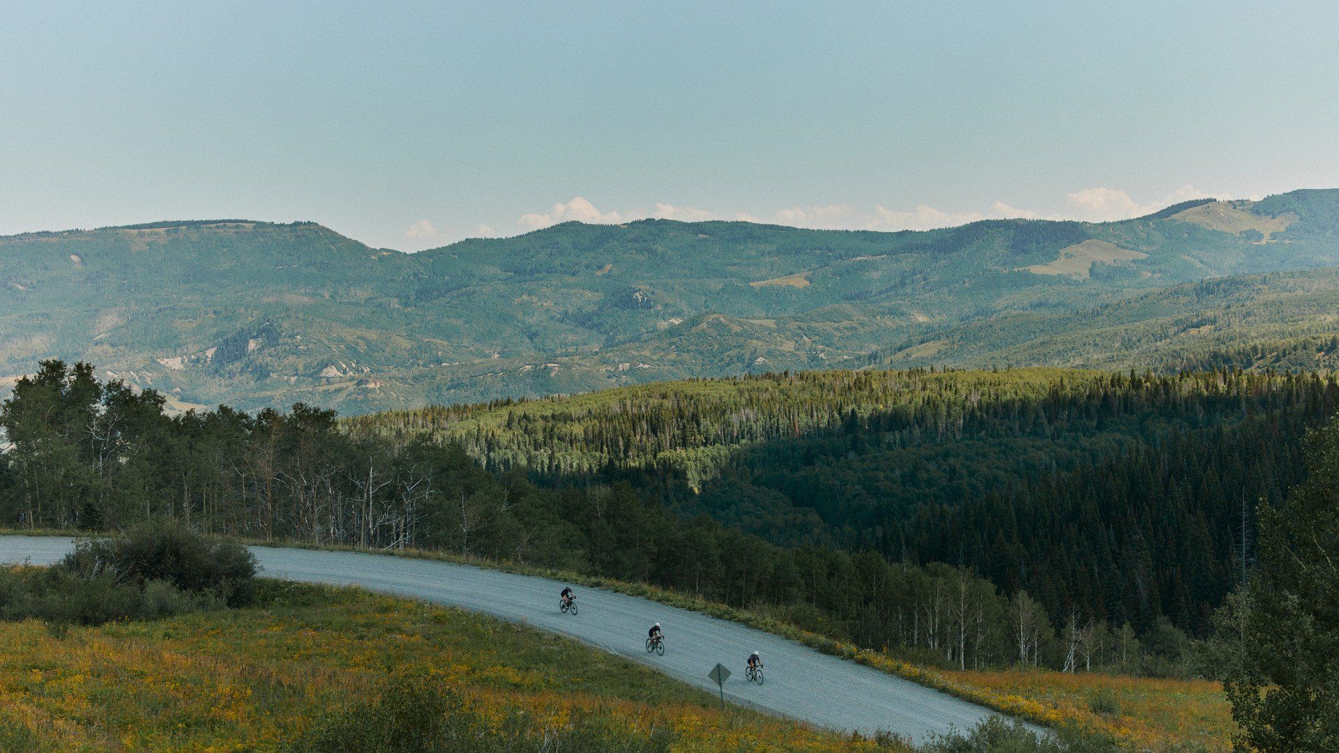
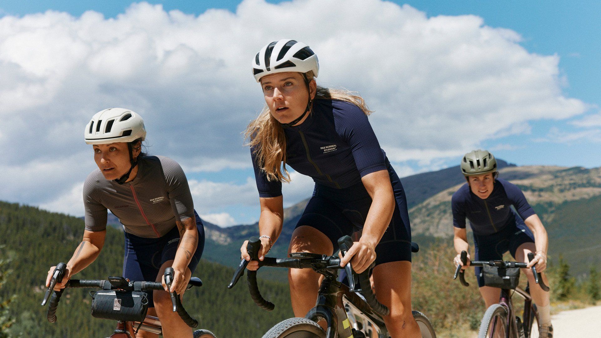
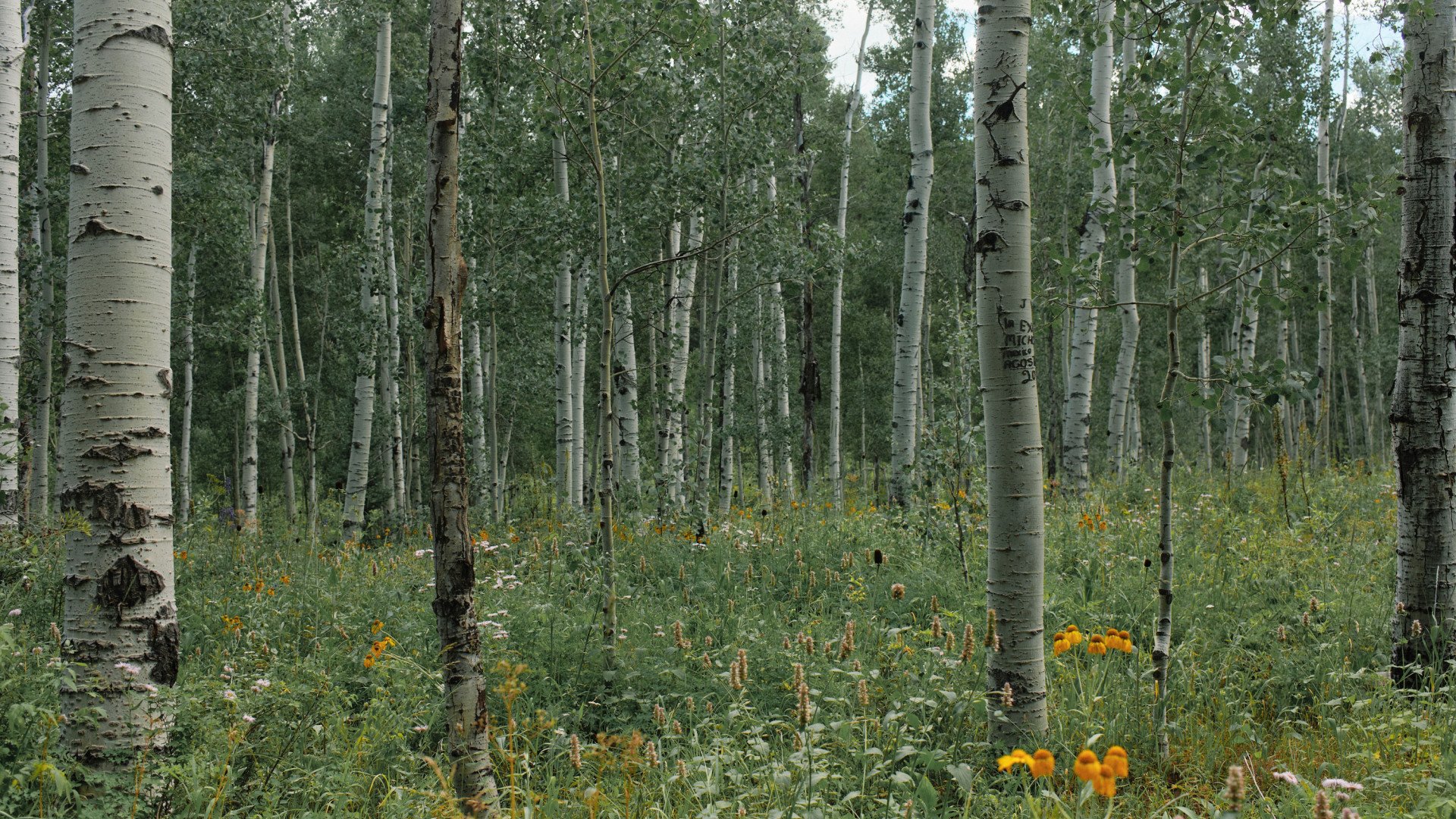
Day 4 started off with cool temps out of the Ranch in Buford, Colorado. The ride is essentially two climbs; the first crested at mile 25 at above 10K and the second at mile 42 at just below 10K. Hitting high altitudes and remembering to eat and drink enough was the challenge (again). The first gravel climb was smooth and steady with incredible views of Aspen trees lining the mountains. As we reached closer to the top of the first climb, my breathing became heavier but the wildflowers appeared just in time to distract me from the thin air. We had an incredible 10-mile gravel descent. Smooth for the most part but also loose in some sections, keeping you on your toes.
We topped off the ride with an 8-mile loose, gravel climb. Hot and exposed but eventually worth it for an amazing 15 miles of rollers into town. Headwind and all. This descent was a little bit of everything from scenic turns to fast straightaways. The greenery of the mountains was unparalleled. It was a hard day of knowing how to pace yourself but also remembering to look up to enjoy the views. An amazing route with good climbs, good descents, and of course animal sightings. Another reminder of how the amazing things the human body is capable of.
Our final day of the adventure started with as good of a cup of coffee that could be made in a motel coffee pot, and oatmeal out of a rice cooker. Once adequately carbed up we kitted up with the lightweights in the bag as the day was already proving to be a hot one. The first 15 miles were a combination of paved climbs and rolling gravel, wide and sweeping across the Colorado countryside. An hour and a half into the ride the open roads were swapped for winding singletrack up and over the backside of Emerald Mountain.
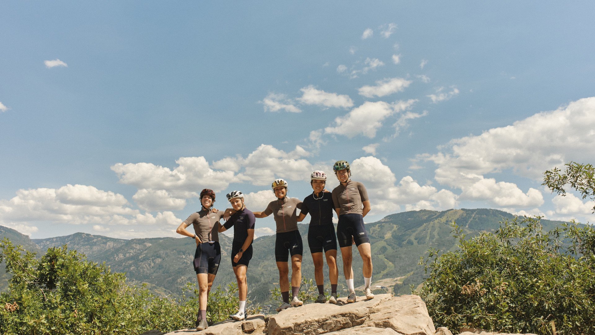
The trail was more technical than we expected, going slower, and as we neared the top the water in our bottles scarcer and scarcer. Eventually, we were deposited at the Quarry Mountain overlook, taking our breath away with views of Steamboat Springs and its infamous ski mountain Mt. Werner.
This was the moment I was waiting for all week. I grew up in Steamboat Springs and couldn’t wait to share this view and the miles into town with my fellow riders and friends. That feeling of sharing something precious with people that you care about is a way for them to know you better.
This whole trip was so special to me because I had never ridden any of these roads and trails- even the trails on Emerald Mountain I had only ever hiked during Nordic ski training. Our trip brought me to new places in this state I love so dearly, and time to rejuvenate amongst the trees, mountains, and rivers. After soaking in the views we soared down the mountain, rode under sprinklers, and found sandwiches the size of our faces. What a week.